So we’ve got a good route through south-east Wales, Ceredigion is pretty much sorted thanks to Ceredigion County Council’s wonderful network of promoted paths, Pembrokeshire has the Coast Path, the Landsker Trail and the Knights’ Way – what about Carmarthen? Time to join the dots?
To be honest, we did struggle on the Carmarthenshire sections in 1998 and in 2005. The county has a lovely gentle landscape of rolling hills and distant vistas,

but it doesn’ t seem to be traditional walking country. The coast path is great but it takes a long time to get anywhere. But the coast path has brought new developments – including a ferry from Ferryside (yes, there did used to be a ferry there …) to Llanstephan. Timings depend on the tides – https://www.carmarthenbayferries.co.uk/timetable/ – so anyone using it on the Cistercian Way would have to plan ahead, but all of a sudden it makes the route much more doable. We don’t have to find a way across to Carmarthen – we can follow the St Illtyd Walk from Pontardawe and Pontardulais down towards Llanelli then cut across.
I learned about the ferry at a splendid networking event organised by Celtic Routes, an EU funded project to encourage tourists to spend more time in less-visited areas of south-west Wales and south-east Ireland – https://irelandwales.eu/projects/celtic-routes . It’s being led by Carmarthenshire County Council so it seemed like a good time to start picking up on footpaths. I have a meeting with the footpaths officer next week so it seemed tactful to do a bit of walking first. Steve is slowly getting better and actually felt well enough to drive me to the route north of Llanelli. drop me off and arrange to pick me up ten miles along.
We are hoping that the St Illtyd Walk will be usable without too much work. There may be a few glitches, though. Driving through the lanes north of Llangennech we realised that our 1:25,000 OS map was out of date. The St Illtyd Walk has been rerouted from SN 54688 03117 to avoid the very dangerous stretch of main road further on. The new route goes down the lane then turns right at SN 54687 03014. I walked past the turning three times before deciding it must be somewhere in the Japanese knotweed.

There’s a waymarking post in there somewhere …

then a faint path through the trees.

Part of the problem may be this tree fallen across the path,

but it does need some knotweed bashing at the start. Llanelli Ramblers’ Footpath Volunteers have done good work on stiling and waymarking –

… might contact them and see what they can do on maintenance.
You emerge from the woods and bear left to the top left corner of the next field.

Cows. Oh, good, they are kept away from the path by an electric fence. Not so good – fence across the path.

Technically it should be possible to shimmy under it, but that would get you under the feet of a lot of inquisitive cattle. Scramble over gate to left and walk along the other side of the hedge. Gate at the bottom of the field, back on track – and another electric fence. (Stile in distance.)

This time no cows so I crawled under. After that it was all plain sailing. There was quite a bit of street walking – waymarks on lamp-posts,

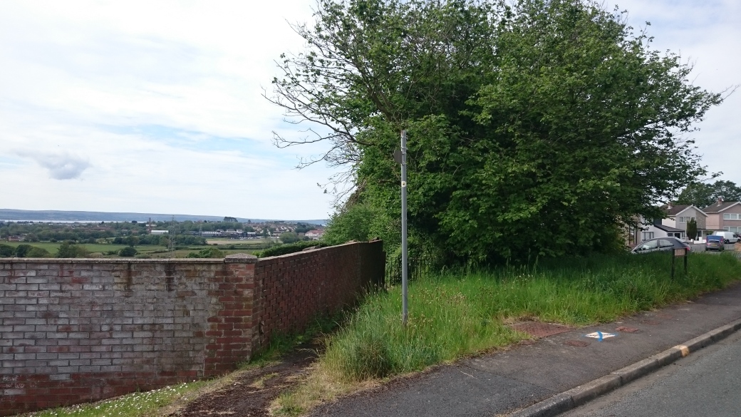
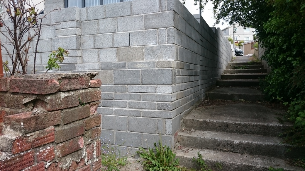
a bit more waymarking needed on new walls –
but also footpaths round the backs and up the pretty Swiss Valley.

(Yes, polling station – saw several of those – as Celtic Routes is an EU funded project it seemed appropriate …) Then you get to the bottom of the Lliedi reservoir and walk back up the far bank. Where the road crosses the Lliedi at SN 51495 04154, turn left and walk up hill. At SN 51495 04154 the road turns sharp left.

Scramble up the bank ahead of you and turn right on the cycle path.

This is on the track bed of the Carmarthenshire Railway, which claims to be the world’s first operating public railway. It began in 1803 with horse-drawn trains linking Gorslas and Llanelli. In 1875 the long-defunct line was taken over by the Llanelly and Mynydd Mawr Railway Company (yes, I know, that’s how Llanelli is spelt in the company’s name to distinguish it from the Llanelli and Mynydd Mawr, a modern heritage charity which wants to reinstate part of the line and open a heritage centre). Lots more information at https://en.wikipedia.org/wiki/Llanelly_and_Mynydd_Mawr_Railway.
The railway continues along the Upper Lliedi Reservoir to Horeb. Here I planned to turn left on the road to Five Roads and see if I could find footpaths to cut across to the Gwendraeth.

Horeb has a good pub (open) and a chapel (closed). It was a Baptist chapel with an open-air pool for baptisms down by the river. I got a bit distracted by the chapel graveyard.

The road to Five Roads was quite busy. I did look at the paths across to Carwe but they would need a bit of work. The big problem, though, is that the only possible way across goes through two farmyards. I’m really not comfortable with that. Yes, they are public rights of way – but we are hoping that this route will be busy and popular, and I don’t think it’s fair to be routing that amount of traffic through what is after all someone’s work place.
So I went back to the road and along to explore the cycle track in Cynheidre. This is where the Llanelli and Mynydd Mawr’s Heritage Centre is – and there’s also a wildlife park. More information at https://www.llanellirailway.co.uk/. At Cynheidre the cycle path bears east towards Tumble. Go back to the minor road heading north out of the village and follow this towards Pont Henri. On the way I met some people cutting back foliage on the road. They advised me not to go through Pont Henri itself but to turn left on the B4317 then cut across to the old railway line. I didn’t take their advice but I probably should have done. Pont Henri village is a way north to go south again. The main road is probably no more busy, there is a pavement, and at SN 47687 08638, just after Ynyshafren Farm, yoiu can bear right on a footpath that leads to the old railway line. There’s a footpath along the disused line through Pontyates and down past Pontnewydd. From there I have walked along footpaths and minor roads to Llansaint, where you pick up the coast path. But that was back in 2005 so it will need rewalking.
