We have been having a drought, which is something we are not used to in Wales. Desperate measures were called for – so Rachel and I planned a long walk. Result! – it rained in Cardiff for about 3 hours, but we went east and had just a bit of mizzle.
Back in 2016 I walked the eastern slope of Wentwood with Andy Delmege on his great trek round Wales but I had to go back to the car from Five Paths. We got a bit confused about paths at the top of the first slope. The route Andy took was OK but missed the burial mounds and was technically not a right of way.The problem is that even recent OS 1:25,000 maps show a cleared area at Five Paths which doesn’t correspond with what is there now. The online map has been updated. Whe you get to the cleared area at ST 43281 95027 you need to keep straight on, roughly due west, to the right of the cleared area (my map marked the RoW to the left of the cleared area, which was where we went wrong last time). This is a well-surfaced forest road. At ST 42216 94830, just past the car park, cross a minor road and take the forest road ahead of you and slightly to the right. The burial mounds are just north of the track at around ST 41690 94556. (Here they are in rather different weather.)


At ST 41428 94552 cross another minor road and keep going straight on. In about 80m. the paths divide.

Follow the waymark

and take the left fork,

passing just to the north of the mast. The track becomes fainter but continues bearing just south of west and mostly downhill. At about ST 40036 94168 the track rising to meet you from the right is the line of the London to St David’s route mapped by John Ogilby in 1675. You are probably now on the medieval pilgrimage route to St David’s. The modern path sometimes follows a marked hollow way and sometimes climbs above it.

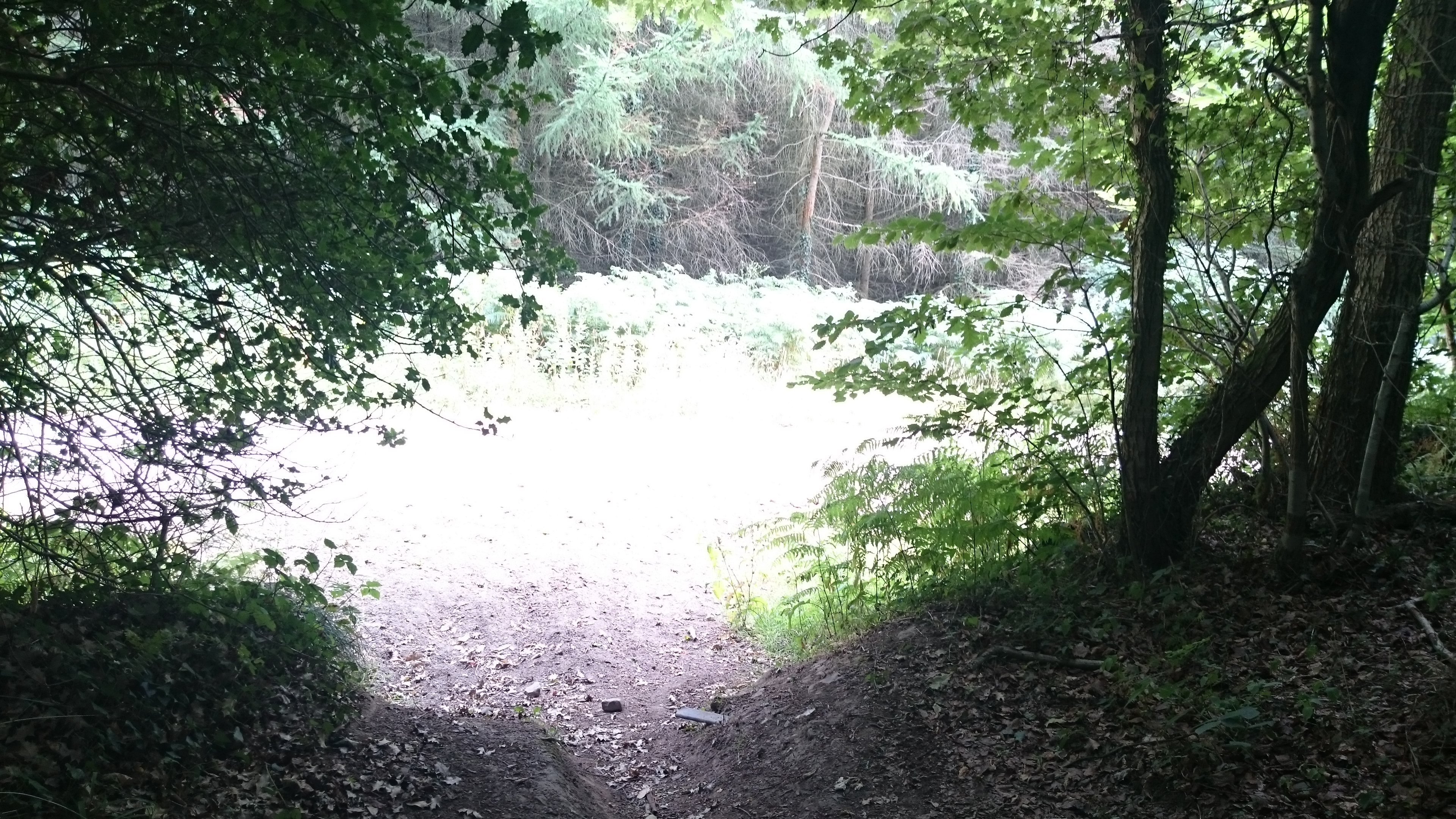
There has been a lot of off-roading damage on this section of the path – last time I walked it, in slushy and wet weather, there were deep water-filled ruts,


and it would still be difficult under foot in wet weather. Part of Wentwood now belongs to the Woodland Trust and the rest is managed by Natural Resources Wales. Both have been trying to discourage off-roading but it’s a large area to control and there’s the perennial problem that it’s difficult to exclude motorbikes while still allowing access for horses and push-bikes. Forest roads can also be accessible for wheelchair users and again it’s difficult to block motorbikes but allow wheelchairs. There was a scheme in north Wales to fit lockable barriers that could be opened by radar keys but I don’t know how that worked. The line of the London-St Davids road was at one time a byway for all vehicles so off-roaders had a legal right to use it, but its status may have been changed.
At ST 39576 93699, emerge from the trees and turn right on a well-surfaced forest road.
At ST 39445 93571 the forest road ends at a line of large stones.

Continue on the same line along a path. This becomes a well-marked track, sometimes a hollow lane or just to one side of the hollow. At ST 38965 92859 you pass the ‘motte and bailey castle’ of Caer Licyn – not a motte and bailey at all according to my old student Neil Phillips and most probably a garden viewpoint constructed as a folly.
At ST 38648 92438 you rejoin the metalled road.

The Ogilby route continues straight on and gradually down hill. When you get out of the trees, the faint earthworks in the field to your right are all that is left of a puzzling series of enclosures. Could be Iron Age … one at least could be a preliminary Roman camp before the fortress at Caerleon was built … some evidence of early medieval occupation … the road you are on could be even older than that. At ST 37465 91043, when the road bends left, take the hollow lane to your right: this is still the line of the Ogilby road, overgrown but just about passable. Turn left on Abernant Road and walk down to the B road past Cat’s Ash Farm. (The converted farm barn is a medieval chapel on the site of an even earlier church, mentioned in the Book of Llan Daf – you can still see the otline of the east window)

If you want to avoid the tarmac, at ST 38648 92438, look for the bridleway waymarked to your right. This goes down a VERY steep and rough slope to join the Usk Valley Walk. It’s a pretty walk but goes down a long way to climb back up again. On balance I’d recommend sticking with the road.

I took the Usk Way at the end rather than tarmac. My memory is that this was a mistake – I got caught in lots of confusing landscape changes that the Golf Club had made. But that is a really good day’s walking.
I will be picking up some of the route I missed next month. Planning to start at Whitchurch and hopefully get to somewhere around Machynlleth
Andy
I;ve a feeling that’s further along the Usk Walk – where it cuts down from the road towards the river? I need to rewalk that bit (and maybe lean on the Celtic Manor to tidy up the waymarking) – to be honest I’ve been putting it off, not wanting tobe too close to the sad state of our old campus. But I’ll give it a go some time this summer.
I wouldn’t worry.
Routefinding into Caerleon is fine because you have the Usk Valley as a landmark.
The route from Caerleon to Llantarnam was very easy to navigate
Pingback: Wentwood again | Cistercian Way